
Papua New Guinea Defence Force (PNGDF) personnel have strengthened PNG’s sovereign geospatial mapping and analysis capability through specialised training at Murray Barracks. Delivered under the Australia–PNG alliance, the course reflects the practical cooperation, trust and shared purpose that underpin the relationship between our defence forces.
Over three weeks, participants developed advanced skills in mapping, geospatial analysis and producing geographic information products to support military planning, operational decision-making and situational awareness.
The training strengthens PNGDF’s specialist expertise and its ability to produce accurate mapping products for operations across Papua New Guinea’s diverse and challenging terrain.
The skills developed will also support humanitarian assistance and disaster relief, helping PNGDF personnel analyse, map and respond to natural disasters. Stronger geospatial capability will improve cooperation and interoperability between the PNGDF and Australian Defence Force (ADF) during future disaster responses, including monitoring the effects of El Niño across PNG.
Acting Deputy Secretary of Papua New Guinea’s Department of Defence, Ms Doreen Joel, said geographical information was critical to the effectiveness of a modern military force, when speaking at the course closing on Friday 9 October.
“Geographical information is important to a modern military to support future operations,” Ms Joel said.
“Through this course, the training will contribute to more effective planning and decision-making by commanders and senior decision-makers. Participants have learned practical capabilities to support military and operational planning and situational awareness.”
Australian Defence Adviser Colonel Nicholas Trotter said the training demonstrated the practical benefits of the Australia–PNG alliance.
“Under our alliance, this training strengthens bilateral geospatial cooperation and develops practical skills and knowledge in the use of geospatial data,” Colonel Trotter said.
“These capabilities will support the PNGDF across a range of operational, planning and humanitarian assistance and disaster relief tasks, while further strengthening cooperation between our two defence forces.”
The course is a practical demonstration of the enduring Australia–PNG defence alliance. By training, operating and learning together, our defence forces are building the capability, interoperability and trust needed to support PNG’s sovereignty and respond to shared security and disaster-related challenges across the region.
ENDS
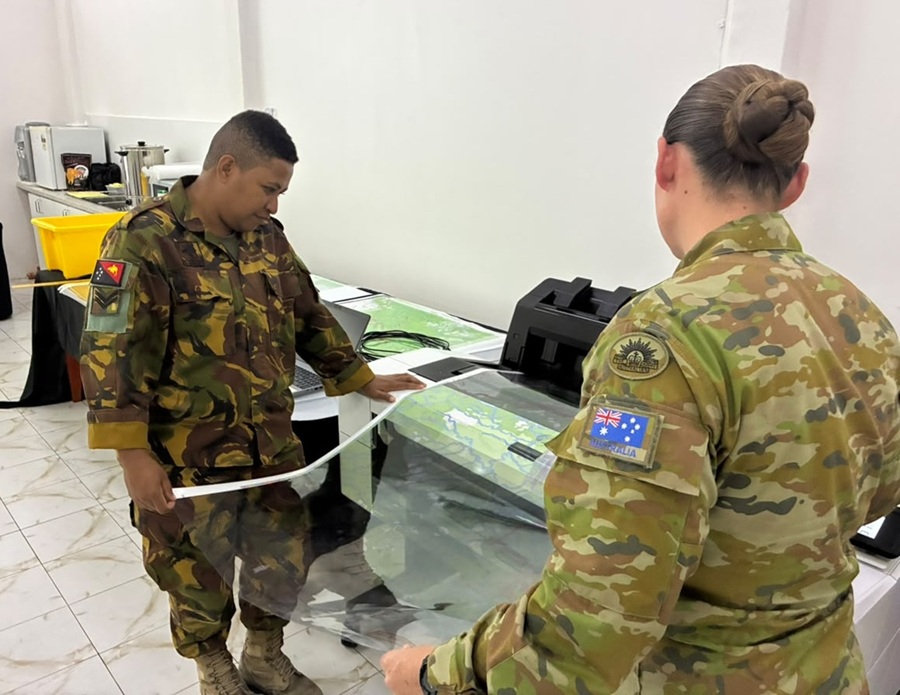
Papua New Guinea Defence Force personnel completed specialised geospatial training at Murray Barracks, strengthening PNG’s sovereign capability and preparedness for security and disaster-related challenges.
For further information, including access to related materials, please contact the Australian High Commission media team: +675 7090 0100